Google Earth Engine – Urban Index

Working with ASU researchers on developing an Urban Index using Google Earth Engine.
What is Google Earth Engine?
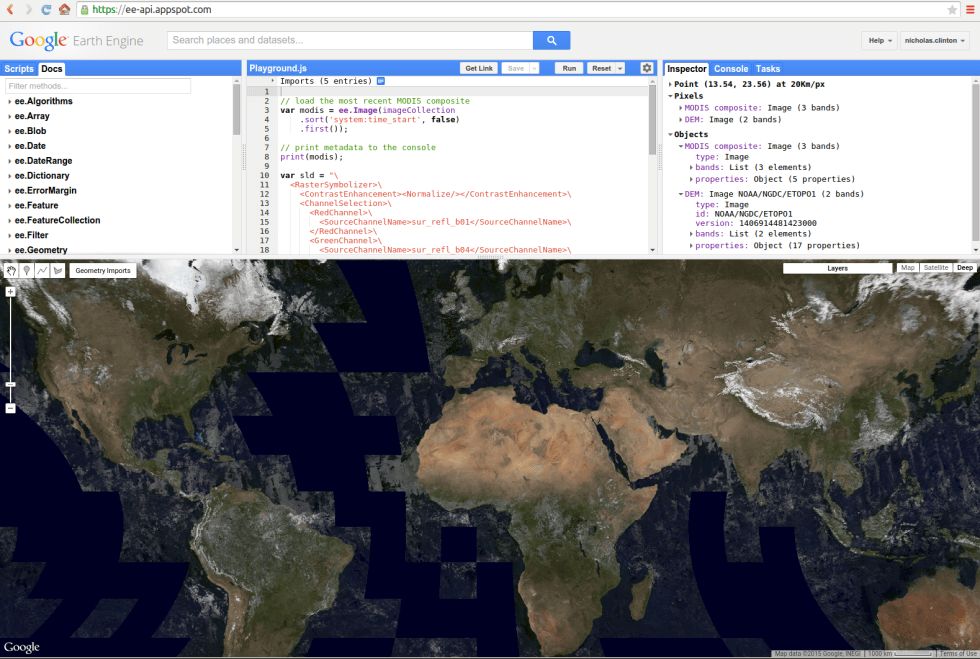
Earth Engine is a platform for petabyte-scale scientific analysis and visualization of geospatial datasets, both for public benefit and for business and government users.
Earth Engine stores satellite imagery, organizes it, and makes it available for the first time for global-scale data mining. The public data archive includes historical earth imagery going back more than forty years, and new imagery is collected every day. Earth Engine also provides APIs in JavaScript and Python, as well as other tools, to enable the analysis of large datasets.
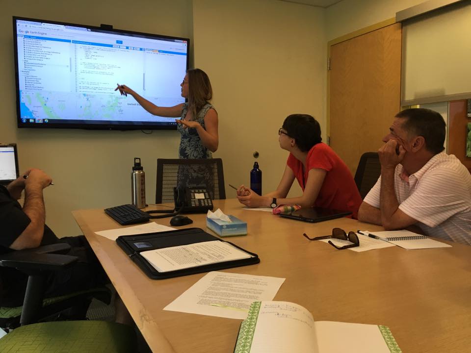
Innovative technology sparks my excitement, so when Dr. Robert Balling invited me to participate in a project to establish an urban index script using Google Earth Engine (GEE) I accepted without hesitation. Researchers involved reside in the Geography department—Dr. Matei Georgescu, Dr. Robert Balling and 3 graduate students, Michelle Stuhlmacher, Elizabeth Tellman and Carter Wang. GEE is very powerful; the urban index script is important to validate the platform’s ability to classify urban areas without the tedious tasks of traditional remote sensing techniques. The GEE tool is a strong technique for me to utilize for future research projects when looking at spatial and temporal aspects of global environmental change. Furthering my education of higher level theories in advanced geographical application courses would be an important component to my PhD. The information that I glean from the professors and graduate students during our meetings feeds my curiosity and leaves me wanting more.